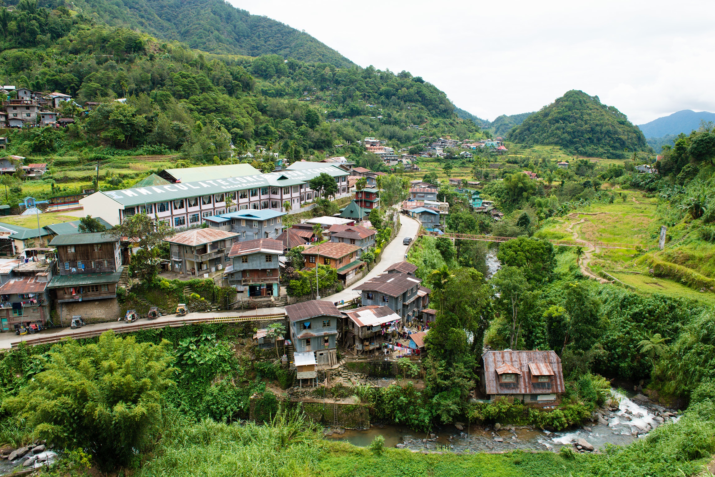
About Lagawe
Lagawe (Ilocano: Ili ti Lagawe), officially the Municipality of Lagawe is a 4th class municipality and capital of the province of Ifugao, Philippines. According to the 2020 census, it has a population of 18,876 people.
Province of Ifugao

The municipality has a land area of 208.91 square kilometers or 80.66 square miles which constitutes 7.98% of Ifugao's total area. Its population as determined by the 2020 Census was 18,876. This represented 9.10% of the total population of Ifugao province, or 1.05% of the overall population of the Cordillera Administrative Region. Based on these figures, the population density is computed at 90 inhabitants per square kilometer or 234 inhabitants per square mile.
Distance
Based on the great-circle distance (the shortest distance between two points over the surface of the Earth), the cities closest to Lagawe are Santiago, Isabela, Baguio, Cauayan, Isabela, Tabuk, Kalinga, Candon, Ilocos Sur, and San Fernando, La Union. The nearest municipalities are Kiangan, Ifugao, Hingyon, Ifugao, Asipulo, Ifugao, Hungduan, Ifugao, Banaue, Ifugao, and Lamut, Ifugao. Its distance from the national capital is 244.98 kilometers (152.22 miles). The following list delineates such distance measurements.
Government
Lagawe is politically subdivided into 20 barangays. These barangays are headed by elected officials: Barangay Captain, Barangay Council, whose members are called Barangay Councilors. All are elected every three years.
Barangays
- Abinuan
- Banga
- Boliwong
- Burnay
- Buyabuyan
- Caba
- Cudog
- Dulao
- Jucbong
- Luta
- Montabiong
- Olilicon
- Poblacion South
- Poblacion East
- Poblacion North
- Poblacion West
- Ponghal
- Pullaan
- Tungngod
- Tupaya